top of page
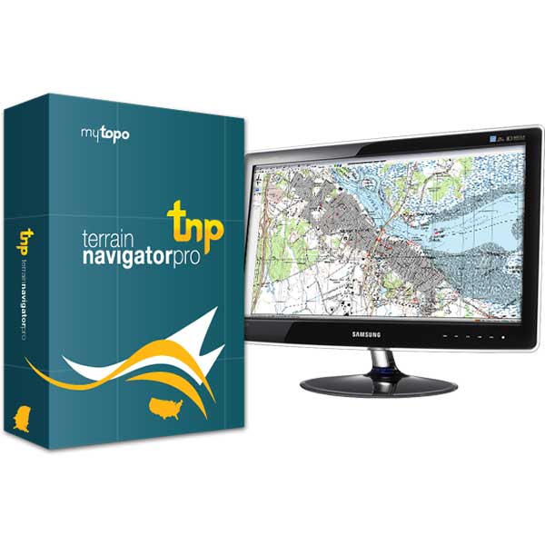
Terrain Navigator Standard to Pro Upgrade
TNPUPGRADE
-
- Upgrade from the standard version of Terrain Navigator to the Terrain Navigator Pro.
-
- This will include the following features;
-
- Aerial Photos via the Internet: Use aerial photos the same way you use maps, including printing and adding notes
-
- Street Address: Quickly find and display street addresses on maps and aerial photos
-
- GeoPins: Organize documents (digital photos, spreadsheets, even web pages) by dragging and dropping file shortcuts onto maps and aerial photos
-
- GeoTips: Automatically label maps and aerial photos with street addresses, coordinates, elevations, grades and areas
-
- GIS and CAD Export: Export Maps, Aerial Photos, Elevation Models and Shapefiles to GIS and CAD programs including ArcGIS, AutoCAD, Microstation, MapInfo and Intergraph
-
- Print on Large Format Printers
-
- NGS Benchmarks and and up-to-date Recovery Sheets
-
- State Plane Coordinates
-
- Advanced Software Tools Including range rings, area fills, line-of-sight height offsets, customizable on-screen grids and PLSS bearings
-
- Township / Range
-
- This will include the following features;
bottom of page